The acquisition of new technology is often a nonevent. Who remembers when they got their first email account, or Netflix subscription? You don’t recognize these things as significant until much later. But I know exactly when I stepped into the world of GPS navigation: September 2006. Because that’s when I got married. Our honeymoon plans called for a two-week road trip and I knew that without navigational assistance I might be divorced before the fortnight was over. So I spent $500 on a TomTom, my first GPS. I haven’t asked for directions since. With the unblinking eyes of medium-Earth-orbit satellites constantly guiding the way, I’ve nearly forgotten the stress of driving in a strange place. Miss an exit? No big deal. Spy an intriguing side road? Drive down it. GPS has plenty of obvious upsides, but the drawbacks are more nuanced. Insidious, even. Chief among them is an atrophying sense of direction, an inability to get anywhere without a digital Sherpa. I recently got lost on my way home from the airport. I took a toll road that was new a few years ago, one that I’ve driven perhaps 20 times, always via GPS. I decided to see if I could navigate it without Waze on my iPhone, and within two miles I saw signs for the parking lot I had just left. I was going in the wrong direction. It’s not that my instincts were wrong. It’s that I no longer had any instincts.
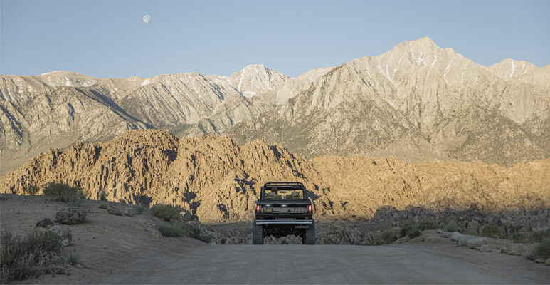
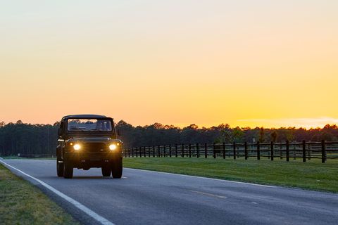
And that’s why I’m in Louisville, Kentucky, with a borrowed 1997 Land Rover Defender and a battered road atlas. I’m going to find my way home to North Carolina the way I used to, pre-TomTom, pre-Waze, using guile and road signs and common sense. I’m going to know where I am, really feel it, instead of mindlessly listening for the next instruction as a preordained route plays out on a screen. I’m going to get lost. Remember getting lost? It was scary and frustrating but eventually you found your way and caught a rush of exhilaration unknown to a whole generation of drivers. And maybe you even went some places you hadn’t planned to go. Imagine that.
I begin downtown, by the river. It seems that if I get on 32 East, I can find Route 150 toward Tennessee.
It takes about one block for my plan to fall apart. The street I’m on dead-ends and forces me onto a seemingly parallel road that soon wanders off at an angle. I discover that there’s the fancy, Kentucky Derby side of Louisville, but also the Thorobred Lounge gentleman’s club side. This area’s not all strip clubs and liquor stores—there are some burned-down piles of rubble, too. Somehow, I blunder onto Interstate 264, a ring road, where the exit numbers indicate that I’m at least ten miles from where I thought I was. And yet, it works out. See, this is the way you used to do it. You keep driving. I exit for Route 32 and settle in for a long drive east.
I aim to make it to Knoxville by dinner without having any real idea of whether that’s possible. It doesn’t help that my atlas crams all of Kentucky onto two pages, printed with fonts evidently developed by those calligraphers who can write the Magna Carta on a piece of capellini. So I stop at a gas station to buy a local map. There are none to be found, so I pull into the next gas station. Then a third. In my mind’s eye, there are metal racks at every gas station, over near the door, stocked with maps. Well, those don’t exist anymore. I don’t know when they disappeared, but they’re gone. “Try Walmart,” says one cashier, as if I could find it.
Check out the full story HERE


